Walks
This walk follows the course of Walk 4 initially, but then heads off in a different direction, taking you to the very top of Breakheart Hill at 219 metres in height, compared with 296 metres of May Hill. From here you will realise that Longhope is surrounded by very many other hills other than just May Hill. On a clear fine day the views are incredible!
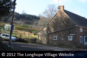
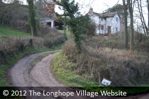
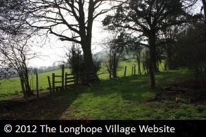
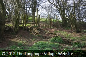
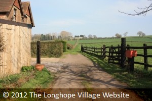
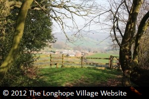
Start from the Post Office and head along Church Road in a northerly direction, as far as All Saint�s Church. Opposite the main gate to the church is School Lane on your left (photo 1). Go up this lane, passing The Old Rectory Residential Home and the old Longhope C. of E. School on your left. Go over the ridge of this road and down into the dip the other side, where you may hear the sound of Barley Brook. Just as the lane starts to rise again, you will see a driveway to a white house on your left, and if you are observant you will see a sign marking the house as The Nest and a footpath arrow (photo 2). Go up this track a few yards and before the house, in the hedgerow on your left, you will spot a few flagstone steps and a path leading upwards (photo 3).
 |
 |
 |
| Photo One | Photo Two | Photo Three |
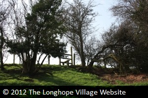
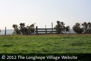
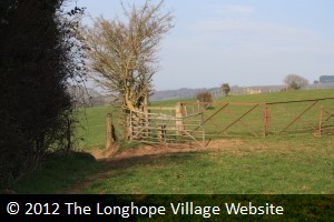
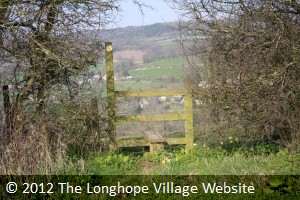
Ascend this path a short distance until you have a choice of paths � either straight on or right, up a wooden flight of steps to a stile (photo 4). Take the path to the right, over the stile, and keeping the wooden railed fence on your left, climb to the top left of this small steep field, where you will find another (broken) stile (photo 5). Stop to admire the view to your right over Preecemoor Farm (which is an equestrian centre), and perhaps spot a few horses. Over the stile into another field, keeping the hedgerow on your left, over the brow of the hill until you see another stile, but no gate! Continue in a straight line (but follow the hedgerow again on your left), until you come to the muddy top corner of the field and another stile (photo 6).
 |
 |
 |
| Photo Four | Photo Five | Photo Six |
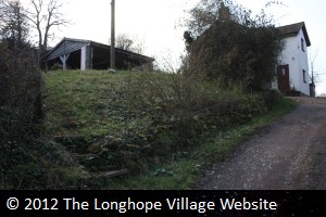
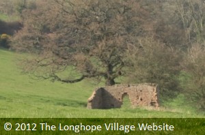
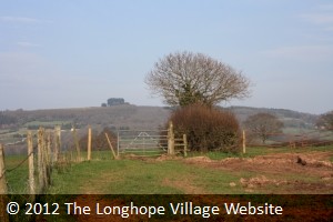
Before you cross this stile, stop awhile, turn and look at the view of May Hill behind you. This is a particularly good place to observe wild rabbits hopping around in the fields, or buzzards soaring just above your head. To continue the walk, cross the stile and walk forward until you come to a fenced off pond, where you walk round to the left of it. Keeping the pond on your right, follow the hedgerow along. You will come to a muddy gateway into another field, and you will see the footpath sign on the post (photo 7). Go through the gate and take a left turn keeping the hedgerow on your left, and go as far as the next field but don�t enter it - this field has the remains of a derelict building in it (photo 8). On your left you will see a stile leading into another field (photo 9).
 |
 |
 |
| Photo Seven | Photo Eight | Photo Nine |
Climb over this and take a right turn and follow the holly hedge along until you reach the next stile up a few steps (photo 10). Over this stile into the next field, and again keep the hedgerow on your right to the next stile, again up a few steps (photo 11). From here you can see Chessgrove Farm through the trees (photo 12).
 |
 |
 |
| Photo Ten | Photo Eleven | Photo Twelve |
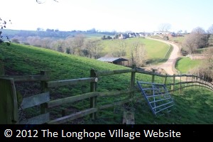
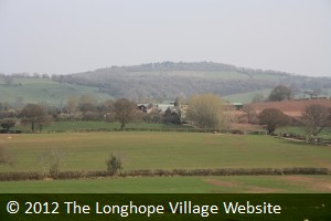
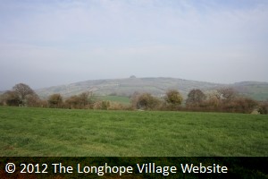
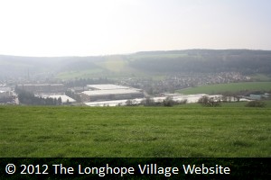
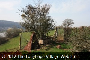
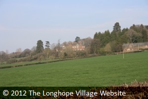
Go straight ahead to cross this field; you may see the microwave mast hiding in the trees on your left. You will come across yet another stile (photo 13). This you will be relieved to hear is the top of Breakheart Hill at 217 metres. Stop to have a break and survey the sight. From here you will realise how many hills surround Longhope that you may not have realised from valley level. May Hill seems a long way off but not quite so high as it does from the village (photo14). Looking beyond the stile you will see sprawled out ahead of you Mitcheldean village and the Vantage Point industrial area, comprising numerous warehouse and office buildings. This was once the Rank Xerox factory employing over 5,000 local people, but when they closed it and made everyone redundant, smaller businesses have gradually taken it over (photo 15).
 |
 |
 |
| Photo Thirteen | Photo Fourteen | Photo Fifteen |
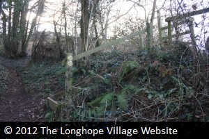
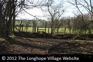
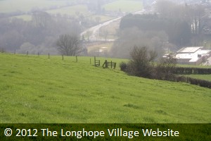
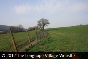
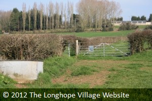
The footpath sign on the stile post indicates to go straight ahead, but in fact you go left of centre to another stile where the other field comes to a corner (photo 16). Cross the stile and keep the tidy hedge to your right until it comes to an end, when you will find what should be another stile by a water tank into another field, but was broken at the time of this walk (photo 17). Keep the high wire fence to your left (photo 18), and follow it along for quite some way, passing a fallen buttressed wall, and a small reservoir on the other side of the fence.
 |
 |
 |
| Photo Sixteen | Photo Seventeen | Photo Eighteen |
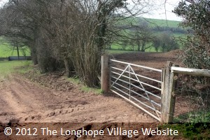
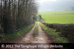
Shortly you will reach yet another stile which takes you onto a farm track leading to a converted barn on your right, but turn left and go down the track (photo 19) until you reach a road. Turn right and follow the road for a short distance until you come to a house on your right with a signpost for the Wysis Way (photo 20). Follow the track that heads off straight ahead through the field (photo 21).
 |
 |
 |
| Photo Nineteen | Photo Twenty | Photo Twenty One |
Keep the hedgerow to your left, and spot the substantial red brick building that is Bradley Court Nursing Home across the fields in the trees (photo22). This has had a chequered history � from a hotel to an agricultural college. Continue on until you come to a farm gate with a painted footpath sign on the gate directing you into a field to the left (photo23). Take a diagonal track across this field towards Bradley Court Farm until you come to another farm gate with a similar painted sign. Go over the stile to the left of the gate, and go up a narrow steep track to the left of the small wooded area and past some more farm buildings (photo 24).
 |
 |
 |
| Photo Twenty Two | Photo Twenty Three | Photo Twenty Four |
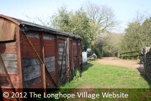
You will come across a farm gate with a stile to the right, close to a railway carriage and a farmyard on the right (photo 25). Continue on forward, past a delightful slurry pit, along a leafy track until you reach a wooden fence and stile with a vista over the hills once more and Bilbut Farm lying ahead of you (photo 26). Go straight ahead down the hill and between the fence posts, and then make for the two solitary tall trees, where you will find yet another stile just to their left (photo 27).
 |
 |
 |
| Photo Twenty Five | Photo Twenty Six | Photo Twenty Seven |
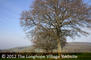
Keep the hedgerow on the left and walk in a straight line to the next stile (photo 28). From here you will meet a series of stiles but keep walking straight ahead through the fields the whole time. This area is quite well signposted with either footpath or Wysis Way markers. After several stiles you are directed to take a right turn down the hillside (photo 29) following a hedgerow along, past some farm gates and into the next field, and again on to the next field where you will come across three large trees standing alone in the middle � one of these is an exceptionally large old oak tree (photo30).
 |
 |
 |
| Photo Twenty Eight | Photo Twenty Nine | Photo Thirty |
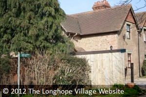
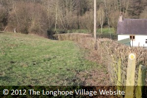
Take a route just to the left of these trees in a straight line and seek out another stile hiding in the hedgerow ahead of you (photo31). Ahead of you are the buildings of the top end of the village including the Farmers Boy Inn. Continue down the hillside, initially heading for the grey barn on the hillside to the left, until you see a solitary cream-painted cottage to your right. This is called The Leighes. Make for this building (photo 32) and as you draw near you should spot a post with a yellow marker on it to the left of the cottage, pointing to a path that will take you out onto the very busy A40 main Ross Road (photo33).
 |
 |
 |
| Photo Thirty One | Photo Thirty Two | Photo Thirty Three |
Turn right and keep on the pavement, passing The Nags Head Inn, until you come to a sharp left-hand bend to the road. Continue straight on into Church Road and follow this road along, passing the church on your left and School Lane on your right as you go. Follow this road for a good way until you find yourself once more back at the Post Office.