Walks
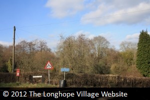
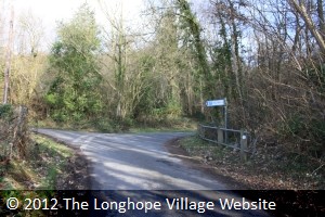
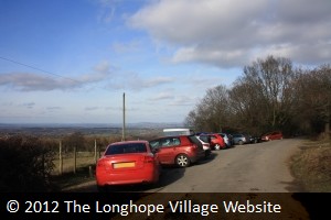
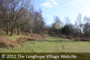
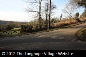
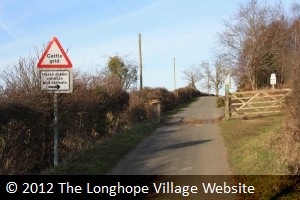
From the Post Office, drive in a northerly direction along Church Road, until you meet the A40 Ross Road. Turn left (which is essentially straight on) and pass The Nags Head Inn on your left. Shortly after (on a dangerous bend so take care) is a turning to your right called Barrel Lane (photo 1). There is also a low bridge sign and a letter box on the corner of this road. (If you get as far as The Farmers Boy Inn on the right, you have missed the turning!) Go under the railway bridge (the original bridge that carried the main Gloucester � Hereford GWR line), and follow the road round a sharp left bend. Continue along this road for quite a while, past old houses and farm buildings, until you come to the first turning on the right signposted May Hill. Take this road and follow it up a hill past a small cluster of old stone farmhouses until you see a left turn sign for May Hill 1/4 m and a car park (photo 2). Follow this road up the hill and over the cattle grid. Just beyond this is a wide area which is the car park and may or may not contain a large number of cars (photo 3).
 |
 |
 |
| Photo One | Photo Two | Photo Three |
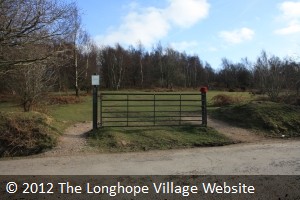
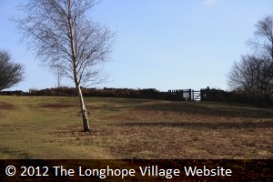
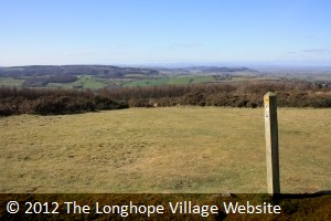
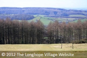
This is where you leave your car and start your walk! Cross over the road and walk around the gate (photo 4), and take the steep path to the right(photo 5). If you need to get your breath, stop and turn around to admire the view behind you (photo 6). At the top of this steep incline is a wooden gate to your right (photo 7), go through this and the clump of trees that is the summit of May Hill comes into view (photo 8).
 |
 |
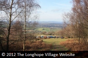 |
| Photo Four | Photo Five | Photo Six |
 |
 |
 |
| Photo Seven | Photo Eight | Photo Nine |
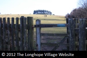
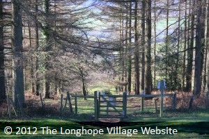
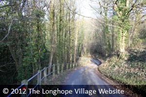
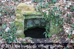
For the return walk, you can either go back the way you came, or, when you get to the clump of conifer trees, take a right turn by a marker post (photo 9). You do have to be observant to find it, but there is only one, so you can't make any mistakes. Follow the track down the hillside, making your way past two posts (photo 10), and heading for a slight gap in the trees, towards a gate (photo 11). Go through the gate and down the steep stepped track through the conifer wood, until you reach the road, beside an unusual looking house (High Meadows). Turn right and follow the road downhill into a twisty bit through a small wooded area (photo 12). Just in this area, set in the wall beside the road on the right is a well (photo 13). Shortly after this, on a sharp left bend, is a turning to the right (photo 14) signposted May Hill 1/4 m which you may recognise from your earlier drive. Take this turning uphill once more, over the cattle grid (photo 15), and back to your vehicle. Return to the village via the way you came.
 |
 |
 |
| Photo Ten | Photo Eleven | Photo Twelve |
 |
 |
 |
| Photo Thirteen | Photo Fourteen | Photo Fifteen |